
The National Weather Service issued a flash flood warning for Cobb and Fulton counties in metro Atlanta on August 5, 2026, following intense thunderstorms with heavy rainfall over a saturated urban area. The storms produced rainfall rates sufficient to overwhelm drainage systems, particularly affecting low-lying intersections, underpasses, and creeks.
Flight Operations at Hartsfield-Jackson Controlled Due to Thunderstorms
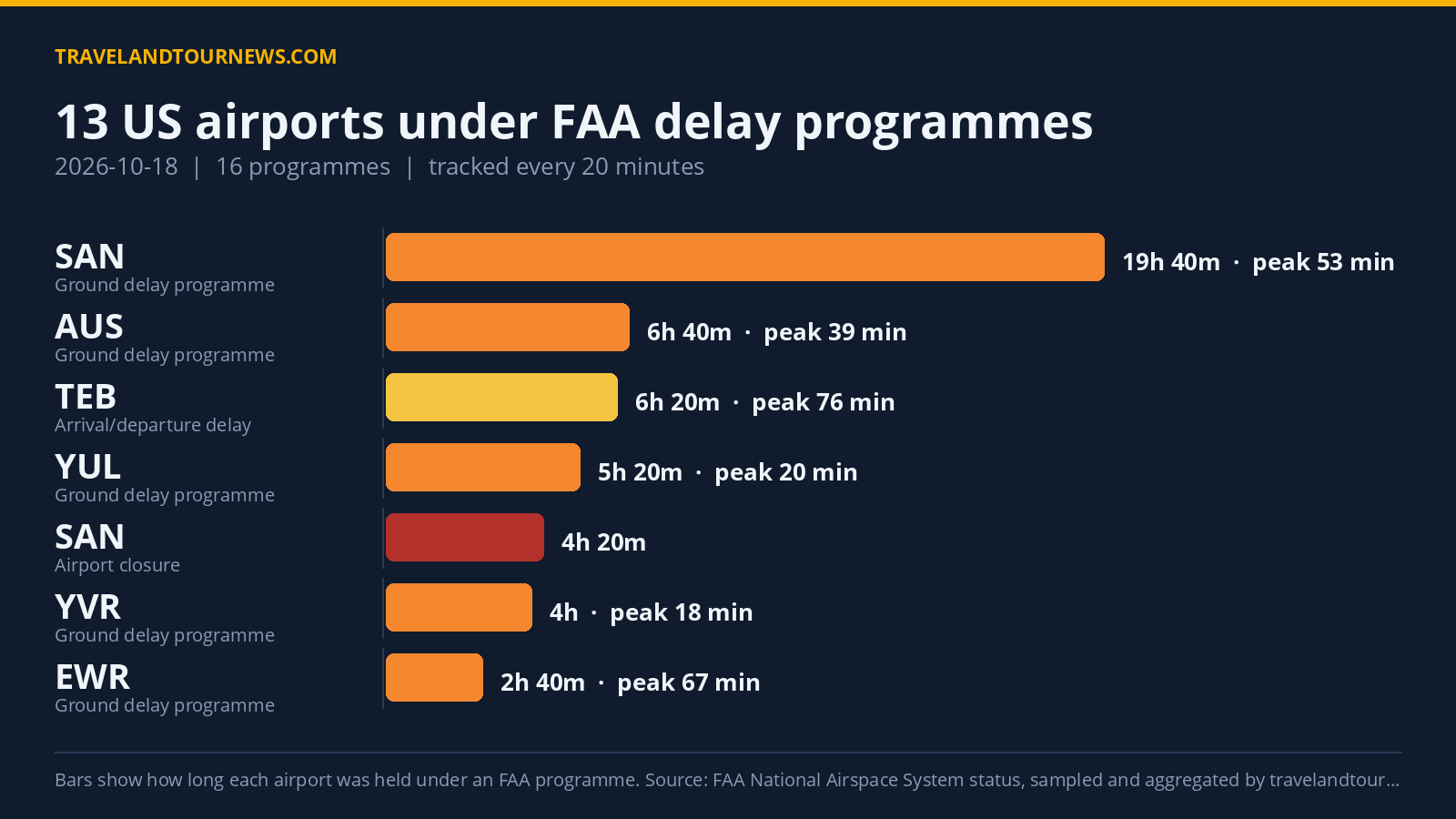
The Federal Aviation Administration implemented a ground delay program at Hartsfield-Jackson Atlanta International Airport on August 5, metering arrivals and assigning takeoff times to flights originating from other airports bound for Atlanta. Strong thunderstorm cells around the airport reduced the arrival rate air traffic controllers could safely handle, forcing airlines to
hold some flights at their departure airports to prevent taxiway congestion upon arrival.
Passenger Delays and Airport Congestion
Flight departures and arrivals at Hartsfield-Jackson experienced moderate to significant delays, varying by route and carrier. Gate areas became busier than usual, with passengers facing rebooking lines in multiple terminals. Flight tracking platforms, along with airline status pages, showed numerous pushed-back departure times as carriers adjusted schedules to adhere to the FAA’s ground delay program and await clearer weather windows.
Impact on Ground Transportation and Airport Access
Heavy rainfall caused ponding and reduced visibility on major highways feeding Hartsfield-Jackson, resulting in intermittent slowdowns on interstates near downtown Atlanta and on feeder roads to airport
terminals and rental car centers. Rideshare drivers, taxis, and shuttle services encountered sporadic congestion due to heavy rain bands crossing key routes. Local travel advisories recommended passengers from northern and western suburbs, especially Cobb County, allow additional travel time to reach the airport.
Airline Adjustments and Traveler Guidance Amid Ongoing Weather Risks
Airlines reacted by consolidating flights, trimming schedules, and modifying aircraft assignments to better align with operational constraints caused by the weather. Passengers were advised to monitor flight statuses closely, consider flexible travel options, and prepare for possible gate changes or rebookings. Regional rail and bus routes serving Fulton County also faced potential delays from localized flooding near
stations and along transit routes.
Additional thunderstorms and showers were forecasted to pass over metro Atlanta throughout August 5, risking prolonged ground delays at Hartsfield-Jackson. Travelers staying in low-lying or creek-adjacent areas of Cobb and Fulton counties were urged to monitor local flood information and avoid parking in areas prone to standing water. Carrying essential items in hand luggage was recommended to prepare for potential overnight delays.
Despite disruptions, tourism organizations noted that Atlanta area attractions are expected to resume normal operations quickly after the storms pass, although outdoor venues near waterways might remain affected until water levels recede.