
On July 12, 2026, the Federal Aviation Administration (FAA) issued a temporary ground stop at Hartsfield-Jackson Atlanta International Airport due to severe thunderstorms. The ground stop paused departures from the airport for several hours, lasting at least until 5 p.m. Eastern, as thunderstorms impacted metro Atlanta and central Georgia airspace.
FAA Ground Stop Mechanics and Airspace Safety
The ground stop primarily halted flights destined for Atlanta, leaving some aircraft parked at their origin airports until weather conditions improved. Flights already airborne en route to Atlanta were generally permitted to proceed. The FAA uses ground stops to manage air traffic safely when weather restricts capacity in approach and
departure corridors. Ground stops prevent additional congestion in already saturated airspace and reduce the risk of aircraft entering holding patterns near hazardous weather.
Severe thunderstorm-related hazards such as lightning, turbulence, wind shear, and cloud formations can decrease sector capacity, prompting the FAA to limit inbound traffic. Once weather conditions improve, the FAA typically transitions from ground stops to metered arrivals or ground delay programs that space flights evenly across time.
Impact on Airline Operations and Airport Congestion
The ground stop created a backlog of delayed departures at Hartsfield-Jackson, a major domestic and international connecting hub. According to FAA data cited by The Traveler, the airport experienced more
than 900 flight delays by about 1 p.m. on July 12, with an average delay of 40 minutes and peaks of up to 75 minutes. Initial ground stop periods spanned until 2:30 p.m. and were extended to 4 p.m., followed by a new ground stop from 8:10 p.m. to 9 p.m.
Delays and scattered flight cancellations affected routes involving Atlanta. Airlines responded by rebooking passengers on later flights or alternate paths through other hubs. The surge in demand for departure and landing slots after the ground stop ended caused additional congestion on taxiways and gates, complicating recovery efforts as crews
and aircraft were out of position.
Passenger Experience and Travel Advisory
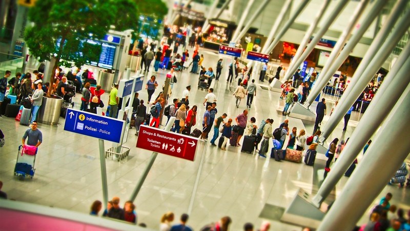
Travelers faced long lines at check-in and customer service desks, crowded airport concourses, and extended waits both on the ground and aboard aircraft at airports outside Atlanta. Missed connecting flights particularly impacted passengers bound for smaller Southeast and Midwest cities that rely on Atlanta as a primary hub. Travel experts recommend monitoring flight status frequently and using airline mobile apps to access rebooking options during such weather-related disruptions.
Weather Conditions and Regional Impact
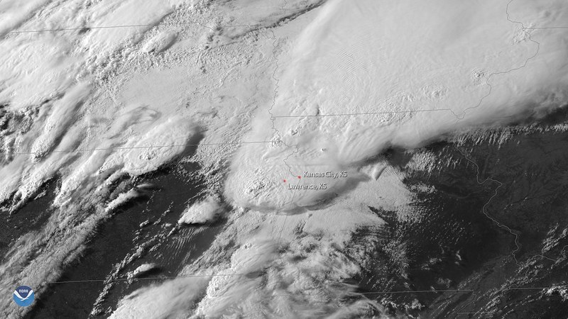
The National Weather Service issued severe thunderstorm warnings for areas including Habersham County until 6:15 p.m. and Morgan, Newton, Oconee, and Walton Counties until 4:45 p.m.
on July 12, as well as a severe thunderstorm watch until 9 p.m. covering numerous eastern Georgia counties. The thunderstorms contributed to unsafe conditions involving lightning, turbulence, and wind shear within crucial air traffic corridors at Hartsfield-Jackson.
Similar thunderstorm activity has recently disrupted other major eastern U.S. airports, leading to periodic ground stops and arrival management measures. Forecasts indicate continued hot, humid weather with scattered to strong daily thunderstorms across the Southeast, suggesting ongoing potential for air traffic delays in the coming days.
Broader Southeast Airport Disruptions and Outlook
Thunderstorm-driven delays and flow restrictions have affected multiple airports in the eastern United States during July 2026,
often coinciding with peak travel hours. Aviation authorities expect that pop-up ground stops and arrival metering programs will persist in the Southeast as storm systems continue to develop. These interruptions highlight ongoing challenges in managing large volumes of flights through weather-impacted airspace during the summer travel season.