
Severe storms on July 13, 2026, forced weather-related ground stops at Houston’s two major airports, George Bush Intercontinental Airport (IAH) and William P. Hobby Airport (HOU), causing average flight delays of 45 and 49 minutes respectively. The Federal Aviation Administration (FAA) imposed the ground stop at Intercontinental shortly after 11:20 a.m. and at Hobby before 11:30 a.m., disrupting flight operations across the Houston region.
Flight Disruption Rankings and Delay Data
FlightAware tracking data ranked George Bush Intercontinental Airport third nationally for flight disruptions on July 13, 2026, with 54 delayed flights reported. William P. Hobby Airport ranked within the national top ten, logging 24 delayed flights
amid the severe weather conditions. The ground stops contributed to significant delays, placing both Houston airports among the most affected in the U.S. that day.
Meteorological Causes and Flood Risk
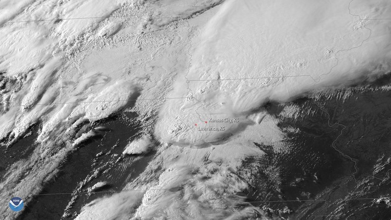
The National Weather Service attributed the severe storms to a combination of tropical moisture from the Gulf of Mexico and a stalled northern front over Southeast Texas, which led to heavy rainfall and widespread flooding. A level 2 of 4 excessive rainfall risk for the Houston region remained in effect through July 14, 2026. The forecast noted cumulative rainfall totals between 1 and 3 inches, with localized spots potentially receiving up to 5 inches.
Ongoing Weather Threat and Forecast
The
National Weather Service forecast stated: “Greatest coverage of (thunderstorm) activity is expected during late morning through early evening hours.” After a lull late on July 13, another round of thunderstorms is anticipated on July 14, particularly shifting toward the Brazos Valley. Officials confirmed the excessive rainfall threat would continue into Tuesday.
Travelers encountered grounded flights and extended delays because of the weather’s impact on air traffic control measures. These disruptions stemmed from hazardous conditions including flood-impacted roadways and adverse storm activity around the airports. According to the National Weather Service, “A lull in activity is anticipated for Monday night with
another round of activity set for Tuesday.” Additionally, cumulative forecast rainfall totals “continue to fall into the 1- to 3-inch range.”
Weather is expected to begin clearing gradually starting Wednesday, July 15, with sunshine returning on Thursday. Temperatures will rise to near seasonal highs of 95°F by Friday, July 17.