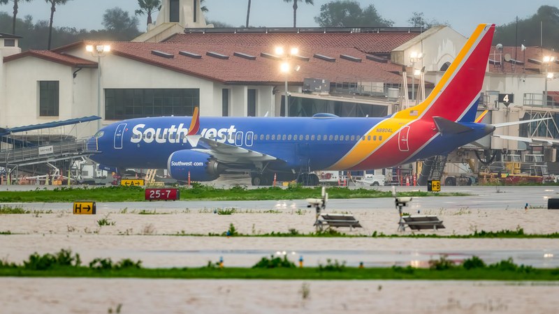

Severe thunderstorms on August 27 and 28, 2026, caused widespread flight delays and cancellations at major airports in the New York City area, including Newark Liberty International Airport, John F. Kennedy International Airport (JFK), LaGuardia Airport (LGA), and Teterboro Airport. These disruptions stemmed from intense weather sweeping through the Northeast and Mid-Atlantic regions.
Federal Aviation Administration (FAA) data show Newark Airport faced average delays of around two and a half hours on August 27, operating under a weather-related traffic management program. JFK departures were delayed by more than three hours by early August 28. LaGuardia recorded the highest number of
U.S. delays and cancellations on August 27, logging over 200 delays and multiple cancellations. The FAA also issued advisories including Teterboro Airport due to congestion in affected low-altitude airspace corridors.
Cascading Flight Disruptions Across U.S. Hubs
By the afternoon of August 27, more than 1,300 flights across the United States had been delayed and over 150 canceled, with a disproportionate impact on New York City area airports. FAA ground delay programs and intermittent ground stops slowed arrivals into storm-affected hubs. The disturbances extended beyond the Northeast as secondary delays affected departures at clear-weather airports such as Atlanta, Charlotte, Denver, and airports in Florida and Texas.
Business
and general aviation sectors also felt the impact, with Teterboro Airport’s inclusion in FAA advisories reflecting congestion throughout the New York metropolitan airspace. Delays accumulated as late arrivals of aircraft and crews created prolonged holding patterns, even after the peak storm activity passed.
Passenger Impact and Airline Responses
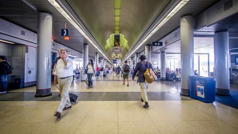
Passengers at New York area airports faced multi-hour delays and had to contend with limited same-day rebooking options. Long rebooking lines and full flights were widely reported as thousands of travelers sought alternatives amid persistent disruptions. Major U.S. airlines extended flexible travel policies and waivers allowing fee-free flight changes for bookings within the affected region when rebooked
within specified windows during the thunderstorm period.
Travel advisories emphasized frequent flight status checks and use of airline mobile applications to monitor standby options. The overall congestion prolonged passenger wait times due to active FAA traffic management initiatives handling the storm-impacted capacity.
Summer Air Travel Capacity Strains and Weather Vulnerabilities
The late-summer peak travel period finds U.S. airports and carriers operating near maximum capacity. FAA and industry analysis note that thunderstorms interacting with already saturated runway and airspace infrastructure cause extensive ripple effects. Tight crew scheduling and limited spare aircraft worsen delays when weather triggers ground stops or delay programs at major hubs.
New York and Washington, D.C.,
area airports commonly experience afternoon and evening summer delays caused by pop-up thunderstorms combined with air traffic control constraints. The current storm-related disruptions illustrate persistent vulnerabilities within the nation’s busiest air corridors, where even brief weather events disrupt hundreds of flights and cascade delays nationally.
FAA data highlight that posted airport status reflects overall conditions rather than flight-specific details and urges travelers to obtain individual flight information directly from airlines. As unsettled weather continues over parts of the East Coast and interior West, travelers heading into upcoming late-summer weekends face ongoing schedule uncertainties and longer wait times.