
The Federal Aviation Administration imposed a temporary ground stop at Hartsfield-Jackson Atlanta International Airport on Saturday, July 12, 2026, following thunderstorms in the area. This action halted departures to Atlanta and disrupted operations at one of the world’s busiest airports.
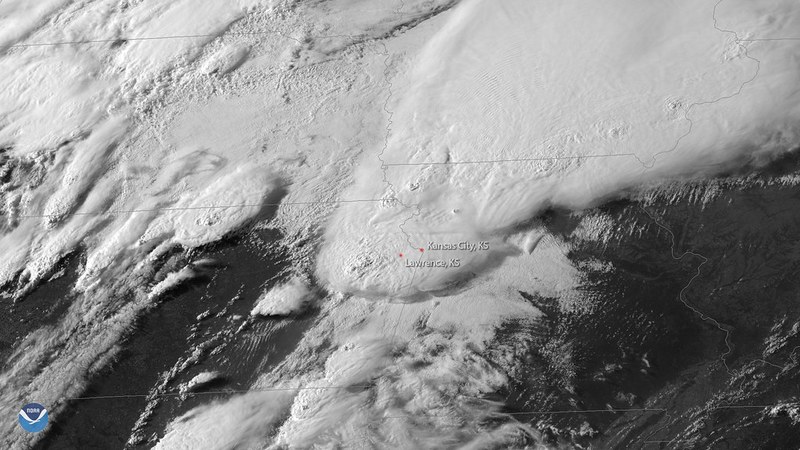
The ground stop was issued as severe thunderstorms developed across metro Atlanta and central Georgia during the afternoon, impacting air traffic patterns in the Southeast United States. The FAA expected the ground stop to remain at least until 5 p.m. Eastern as weather conditions persisted.
FAA Ground Stop Procedures and Air Traffic Management
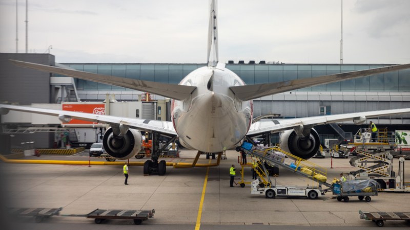
Flights scheduled to depart for Hartsfield-Jackson were held at their origin airports while arrivals already
en route were generally allowed to continue to the airport. The FAA used the ground stop to manage restricted sector capacity caused by convective weather affecting narrow approach and departure corridors serving Atlanta. This strategy aims to reduce extended holding patterns and ease controller workload during severe weather.
The ground stop was adjusted dynamically as radar and pilot reports indicated improvements in the storm conditions. Once the thunderstorm activity moved away from critical airspace corridors, the FAA could shift from a full ground stop to metered arrivals or spaced departure programs.
Impact on Flights and Passengers
The temporary halt in departures created a significant backlog
on the ground, leading to mounting delays and scattered cancellations on routes connected to Atlanta. Passenger rotations fell hours behind schedule, causing many travelers to miss connections, especially those traveling onward to smaller Southeast and Midwest cities that use Atlanta as a hub.
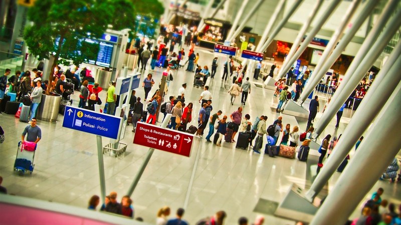
Passengers faced crowded airport concourses and long lines at customer service counters while waiting for updated clearance information. Some airlines rebooked affected passengers on later flights or alternate routes through other hubs, attempting to mitigate the disruptions during the peak summer travel weekend.
Broader Context of Regional Air Traffic and Weather
Hartsfield-Jackson functions as a central domestic and international connecting hub, so weather-related disruptions in
Atlanta rapidly affect broader airline networks. The thunderstorms on July 12 followed a regional pattern of strong, slow-moving storms impacting several major airports in the eastern United States, which have triggered multiple ground stops and arrival management programs recently.
The FAA implements ground stops as a traffic management tool when airport or nearby airspace conditions become unsafe or severely constrained. Thunderstorms in the Atlanta region reduce airspace capacity and require reroutes to avoid lightning, turbulence, and rapidly changing cloud formations, necessitating coordinated traffic flow restrictions.
After ground stops are lifted, airlines typically handle a surge in demand for takeoff and
landing slots, often resulting in additional congestion on taxiways and gates. The cumulative effect prolongs disruption even after weather conditions improve due to aircraft and crew scheduling challenges and regulatory limits on duty times and aircraft maintenance.
Ongoing Thunderstorm Threats and Traveler Recommendations
The National Weather Service forecast for metro Atlanta during this period highlighted persistent hot, humid conditions with daily chances of thunderstorms common in mid-summer. Isolated storm cells have continued to intersect busy air corridors, causing temporary suspensions and reroutes at major airports including Hartsfield-Jackson.
Given the likelihood of ongoing convective weather, pop-up ground stops and flow restrictions are expected to affect travel through
the Southeast over coming days. Travelers passing through Atlanta during these periods can anticipate extended delays, missed connections, and disruption to schedules.