
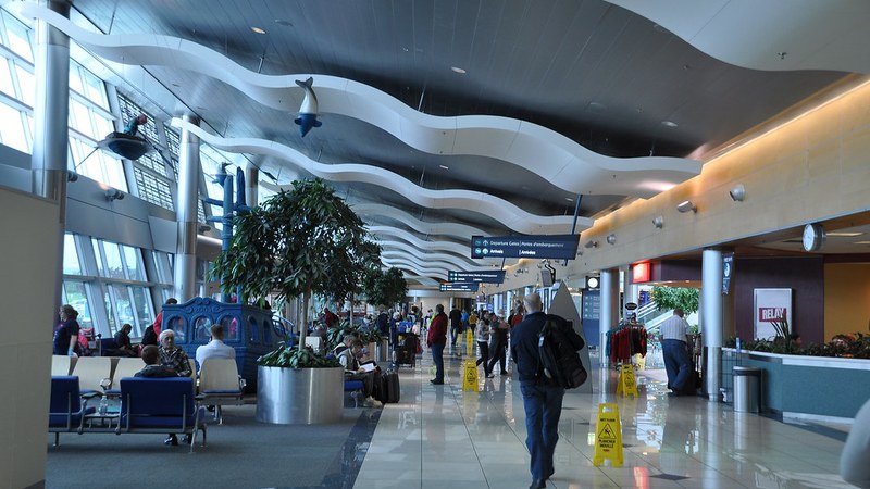
Dallas-Fort Worth International Airport (DFW) implemented a ground stop and delay on Sunday, July 13, 2026, as thunderstorms affected the Dallas-Fort Worth region. The Federal Aviation Administration (FAA) reported that departures were delayed between 60 and 169 minutes. The FAA stated the ground stop began before 5:30 p.m. and ended at 7:15 p.m., while the ground delay was expected to continue until 11:59 p.m. to manage operations safely amid adverse weather conditions.
Weather Conditions and Forecast
The National Weather Service (NWS) office in Fort Worth forecast a high temperature near 97 degrees on July 13, with a 50% chance of showers and thunderstorms starting
after 1 p.m. Winds shifted from south-southwest to east-southeast during the afternoon, blowing at 5 to 15 mph. Rain chances rose to 60% Sunday night, with showers and possible thunderstorms expected before 10 p.m. Forecasted rainfall totals ranged from 0.10 to 0.25 inches, but thunderstorms could produce localized heavier precipitation.
Impact on Flight Operations and Travelers
Flight departures at DFW experienced delays ranging from one hour to nearly three hours due to the ground stop and delay implemented for storm safety measures. The FAA’s ground stop, which temporarily halted flight departures, helped ensure a safe and orderly flow of air traffic. Operations resumed gradually after the
stop expired, though delays continued into late evening. These measures aligned with typical protocol for major U.S. airports during storm events to protect passengers and crews.
Extended Weather Outlook
Temperatures were forecast to moderately decrease on Monday, July 14, with a high near 94 degrees and heat index values reaching up to 101 degrees. The NWS predicted a 40% chance of showers and thunderstorms mainly after 10 a.m. Tuesday and Wednesday were expected to remain warm with highs near 93 degrees and a 20% to 30% chance of afternoon storms. Dry conditions were forecast from Thursday through Saturday, with highs increasing to between
95 and 99 degrees.