

A fast-moving storm system caused flight disruptions at nine major US airports on November 10, 2026. Low clouds, gusty winds, rain, and embedded thunderstorms led to ground delay programs, arrival restrictions, and terminal queues.
FAA data showed weather-related traffic management initiatives at multiple US airports on November 10, with formal ground delay programs active at Seattle–Tacoma International Airport and New York LaGuardia Airport. Boston Logan Airport and other busy East Coast airports reported arrival restrictions resulting in reduced arrival rates for safety.
Seattle–Tacoma International faced low ceilings and reduced visibility during morning hours, triggering ground delay programs. New York LaGuardia
experienced gusty winds and showers along the East Coast frontal boundary, while Boston Logan operated under ground delay programs compounded by knock-on restrictions from the storm system moving through the northeast corridor, including Washington to Boston.
Typical US airports handle over 45,000 flights daily. Even brief arrival rate reductions at major hubs can impact thousands of passengers, causing disruptions to schedules and tight connections, especially at northern tier airports affected along the storm corridor.
Delays at major airports caused cascading effects on connecting flights and smaller secondary airports. Holding patterns and reroutes were observed inbound to Chicago and Detroit due
to banded rain in the Midwest, while knock-on delays propagated beyond the storm-affected cities, including airports with clear weather.
FAA statistics reveal a near 20% year-over-year increase in ground stops at the 30 largest US airports as convective weather events have become more frequent and intense. In 2024, weather and national airspace issues accounted for close to 10% of all delay minutes at these busiest airports.
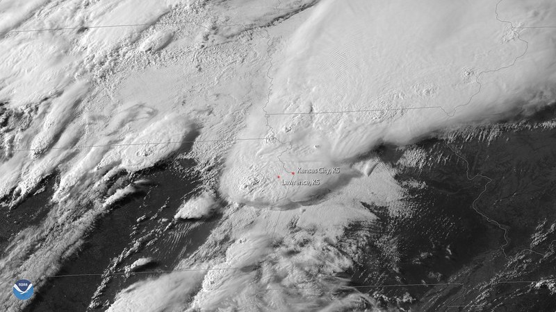
The National Weather Service forecast indicated the storm moving eastward from the Pacific Northwest through the Upper Midwest into the Northeast on November 10, with low clouds, rain, and embedded thunderstorms reducing visual flight
conditions. The storm disturbance cleared into the Atlantic by nightfall but residual disruptions were expected into the morning of November 11.
Passengers with tight overnight connections at northern airports could face lingering delays on November 11 morning. Airlines monitored conditions closely and offered targeted reaccommodation or waived change fees depending on weather evolution at the nine affected airports.
Staffing constraints in air traffic control and ground operations limited schedule recovery after the weather event. The increasing density of US airspace and convective weather intensity exacerbated delays throughout the day.
Multiple independent delay tracking services using FAA and National Weather Service
data reported thousands of weather-related delays nationwide by early afternoon Eastern time on November 10. Public dashboards provided real-time status updates but with information latency of several minutes, impacting passenger awareness.