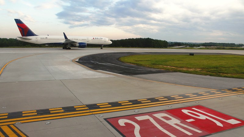


Flash flooding shut down the Interstate 285 westbound ramp to Interstate 85 southbound near Hartsfield-Jackson Atlanta International Airport on Friday, September 13, 2026, causing significant traffic disruptions and leading to multiple road closures across metro Atlanta. Standing floodwater also made GA 400 near Northridge Road in Sandy Springs impassable, while Courtney Drive near Finley Drive in Clayton County was covered by water. By mid-afternoon, radar estimated that 1.5 to 2.5 inches of rain fell across Clayton, DeKalb, and Fulton counties, with rainfall between 2.5 and 4 inches recorded near Interstate 20 and Villa Rica Highway.
In response to the flooding
and severe weather, the Federal Aviation Administration (FAA) imposed a ground stop for flights bound to Hartsfield-Jackson at 4:45 p.m. Initially set to last one hour, the ground stop was extended to 5:45 p.m. and then converted to a ground delay program maintained until 9:59 p.m. Arrival delays averaged 107 minutes during the event, with some flights delayed up to 271 minutes. The initial FAA ground stop affected incoming flights from 10 major air traffic control centers covering the eastern, central, and southern United States, illustrating the wide reach of the disruption.
Hartsfield-Jackson Atlanta International Airport, the world’s busiest passenger
hub in 2025, handled 106.3 million travelers across its 4,700-acre campus and offered 63.1 million scheduled flight seats that year, according to Airports Council International World and OAG industry data. The airport’s vast operations contribute to delay ripple effects spanning multiple regions when ground stops occur, as demonstrated by the extent of Friday’s disruptions.
The severe weather was driven by extreme moisture and heat index values in the upper 90s to low 100s, fueling slow-moving thunderstorms producing prolonged heavy rainfall over metro Atlanta. The National Weather Service issued flash flood warnings for Clayton, DeKalb, Fulton, Carroll, Douglas, Haralson, and Paulding
counties, with alerts in effect until 10:30 p.m. The National Weather Service Forecast Office in Peachtree City monitors these conditions across a 96-county area that includes all of metro Atlanta.
Travelers experienced ongoing flight delays well after the FAA ground stop was lifted, with operational backups continuing due to high traffic volume at the airport. On the ground, the Georgia Department of Transportation closed the I-285 westbound ramp to I-85 southbound in Fulton County due to flooding, while the same flood conditions blocked parts of GA 400 in Sandy Springs. Officials cautioned drivers about the dangers of floodwaters, emphasizing that
as little as 12 inches of moving water can carry away vehicles, urging motorists to obey barricades and avoid flooded roadways.
The flash flooding event adds to a pattern of severe weather disruptions in metro Atlanta this year, which have included power outages affecting over 50,000 customers and multiple FAA ground stops at Hartsfield-Jackson. The latest incident underscores the impact severe weather poses to the region’s transportation infrastructure and air travel operations.