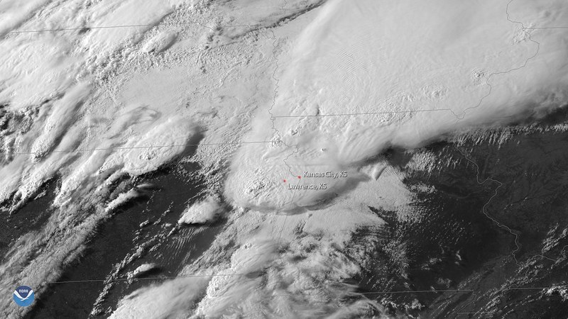

Heavy rainfall and thunderstorms swept across Southeast Texas on July 13 and 14, 2026, caused by a combination of tropical Gulf moisture and a stalled northern front creating a deep tropical airmass. Forecast cumulative rainfall totals were expected to be between 1 and 3 inches, with localized amounts up to 5 inches. The Weather Prediction Center issued a level 2 out of 4 risk for excessive rainfall covering Houston and surrounding areas.
FAA Implements Ground Stops at Houston Airports
The Federal Aviation Administration implemented a ground stop at George Bush Intercontinental Airport shortly after 11:20 a.m. on July 13, 2026, scheduled to remain until 12:45 p.m. A
similar ground stop was enacted at William P. Hobby Airport just before 11:30 a.m., planned through 1:00 p.m. The FAA reported the ground stops carried a 30 to 60 percent chance of extension.
Flight Delays and Rankings on July 13, 2026
During the ground stops, average departure delays at George Bush Intercontinental Airport reached about 45 minutes, while William P. Hobby Airport saw delays increase from an average of 12 minutes to 49 minutes. FlightAware data ranked George Bush Intercontinental third nationally with 54 delayed flights, and William P. Hobby Airport placed in the top ten with 24 delayed flights on July 13, 2026.
Flooding and Ongoing Weather Risks
The heavy rains caused
flooding of streets and low-lying areas across Houston. The Weather Prediction Center maintained a level 2 excessive rainfall risk through July 14, shifting the highest threat toward the Brazos Valley within the Houston metropolitan area. The National Weather Service meteorologists described Southeast Texas as engulfed in a deep tropical airmass during the event.
National Weather Service Forecast
The National Weather Service forecast bulletin stated, “Greatest coverage of (thunderstorm) activity is expected during late morning through early evening hours.” They additionally forecasted a lull in storm activity for Monday night with another round of activity set for Tuesday. Forecast rainfall totals were reiterated to likely
remain in the 1- to 3-inch range with localized higher amounts possible.